Leaving the [A5] motorway at Pont-Saint-Martin, after 100 m turn right, go past a set of traffic lights and continue for about 600 m until you reach the junction for Gressoney. Enter Pont-Saint-Martin and, after 1.2 km, turn right onto the regional road towards the Gressoney valley. A few kilometres beyond the village, turn right and cross the bridge over the River Lys along the local road leading to the hamlet of Pillaz (16.5 km). Leave your car in the small square on the right where the no-entry sign begins.
Introduction
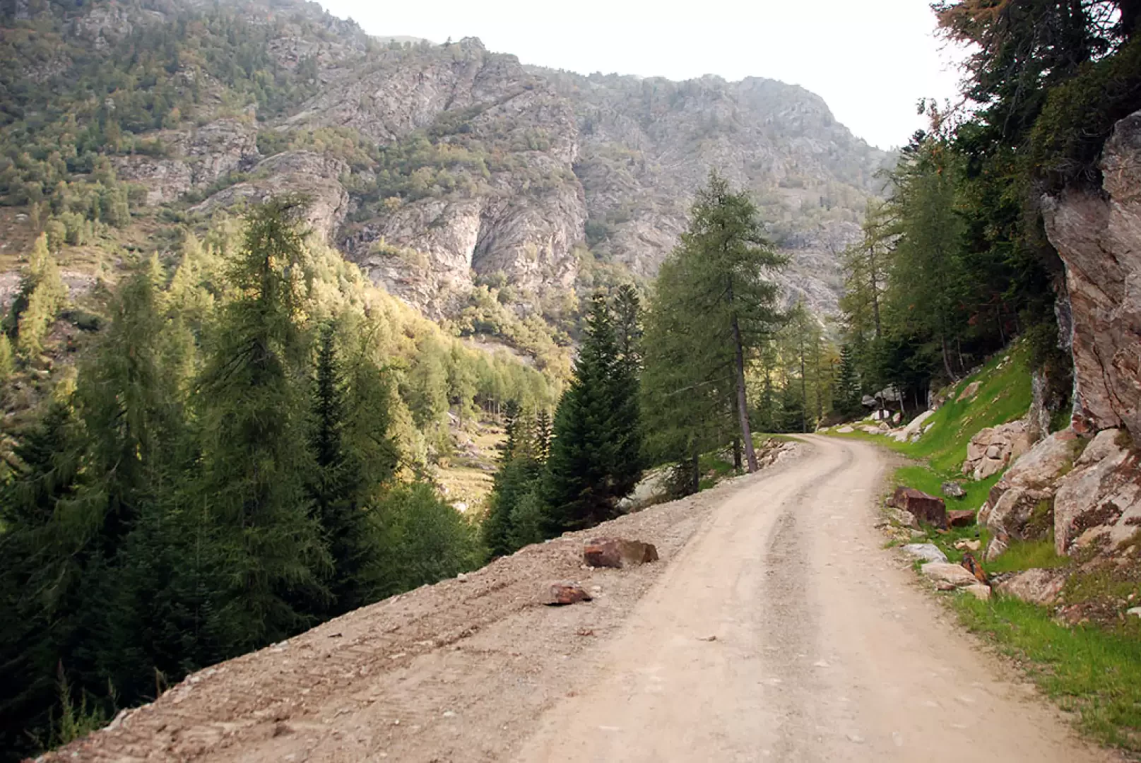
A short but interesting walk that offers a first taste of the Mont Mars Nature Reserve. The route, which follows a dirt track throughout, is suitable for everyone and presents no difficulties.
Description
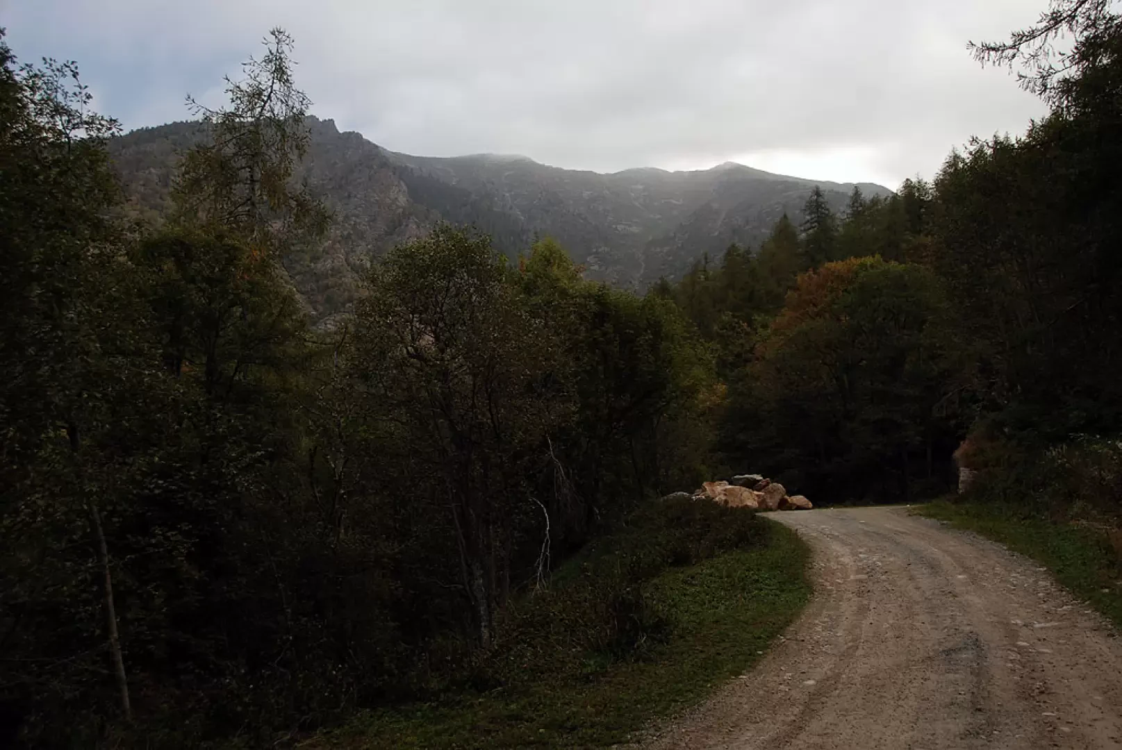
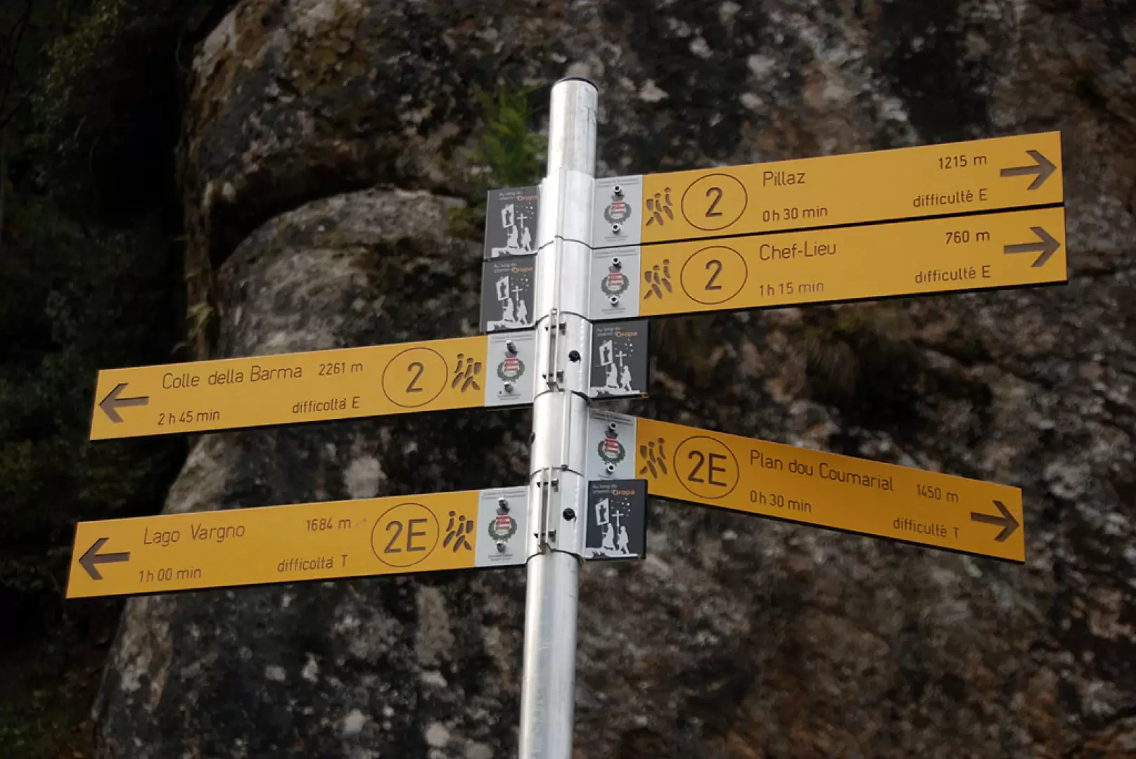
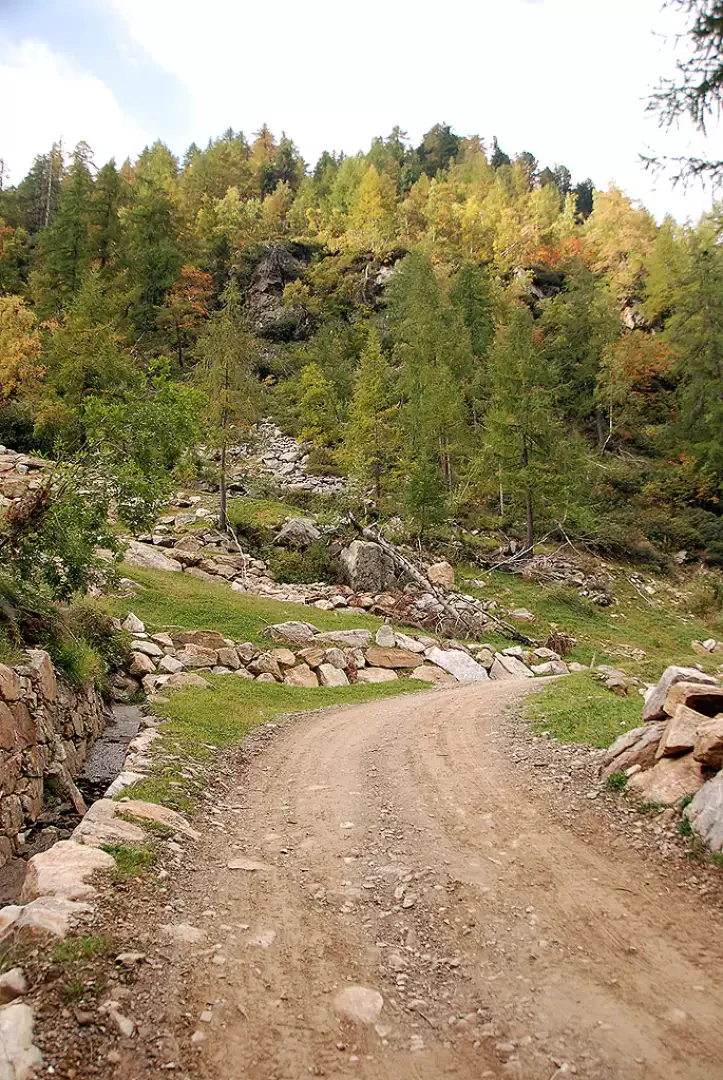
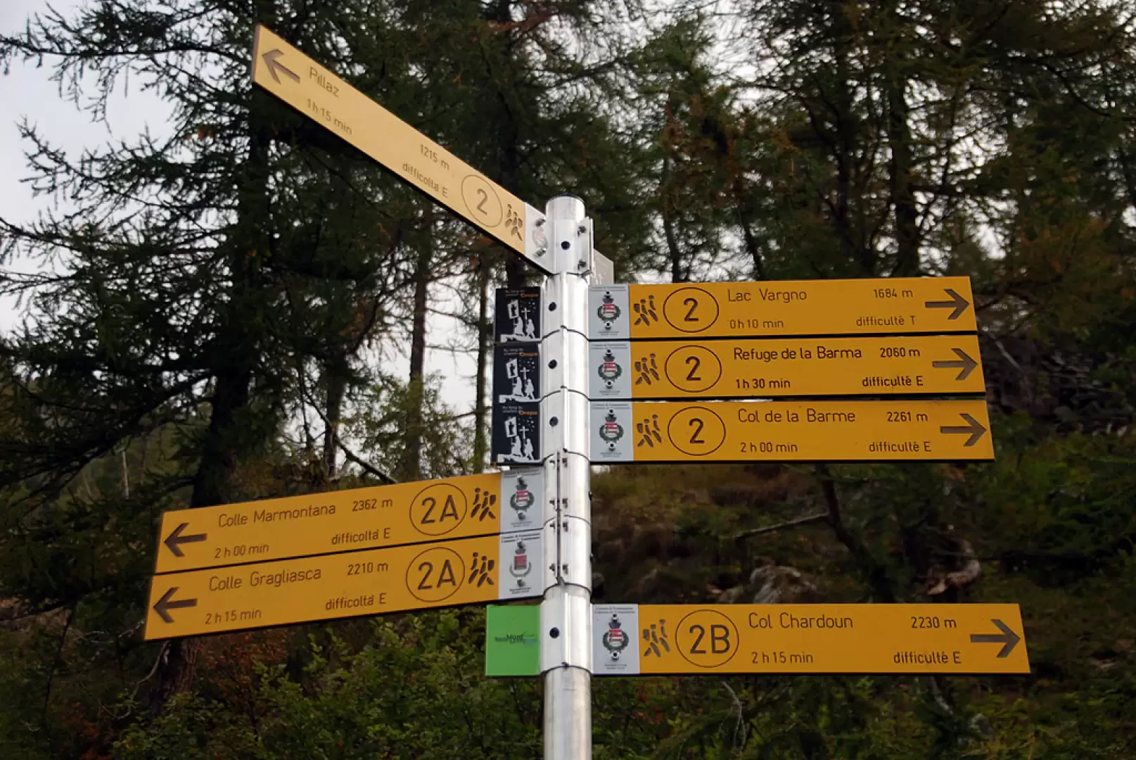
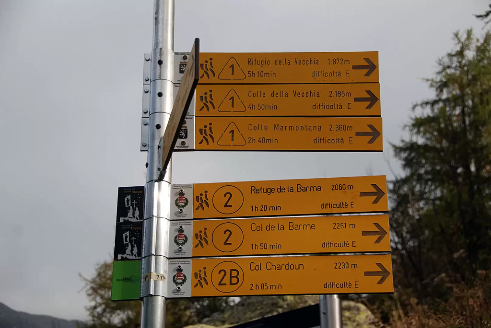
Leave your car and continue along the dirt track, which is closed to traffic by a ‘No Entry’ sign. The route is easy to follow and has a gentle gradient, making for a comfortable start to the walk. The track enters the Pacoulla valley, where the stream flows through the watershed about a hundred metres below, passing through a beautiful woodland of silver fir, larch, birch and a few rowan trees. After walking for one kilometre, you’ll come to a signpost indicating the turn-off for Pian Coumarial, trail marker (2E) (1,410 m, 0h 20’).
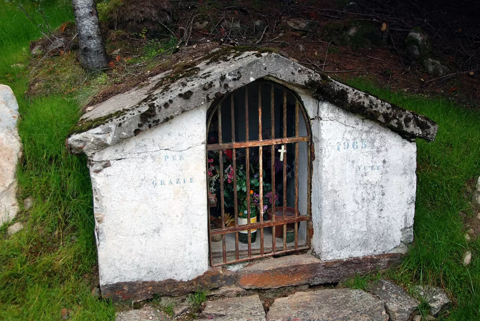
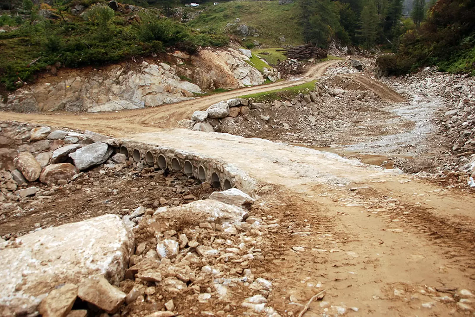
Ignore the track to the right and continue straight on until you reach a second junction: keep going straight, ignoring the small path that descends to the left. After a few minutes’ walk, you’ll come across a small wayside shrine; from here, the path begins to climb more steeply. After a straight stretch of ascent, the path takes a series of hairpin bends, gaining about a hundred metres in altitude; at the end of this section, the gradient eases and the path soon leads you near the stream. Cross the stream via an artificial ford and continue climbing via a couple of hairpin bends that lead to the junction for Col Marmontana, signposted (2A) (1,664 m, 1h 20’).
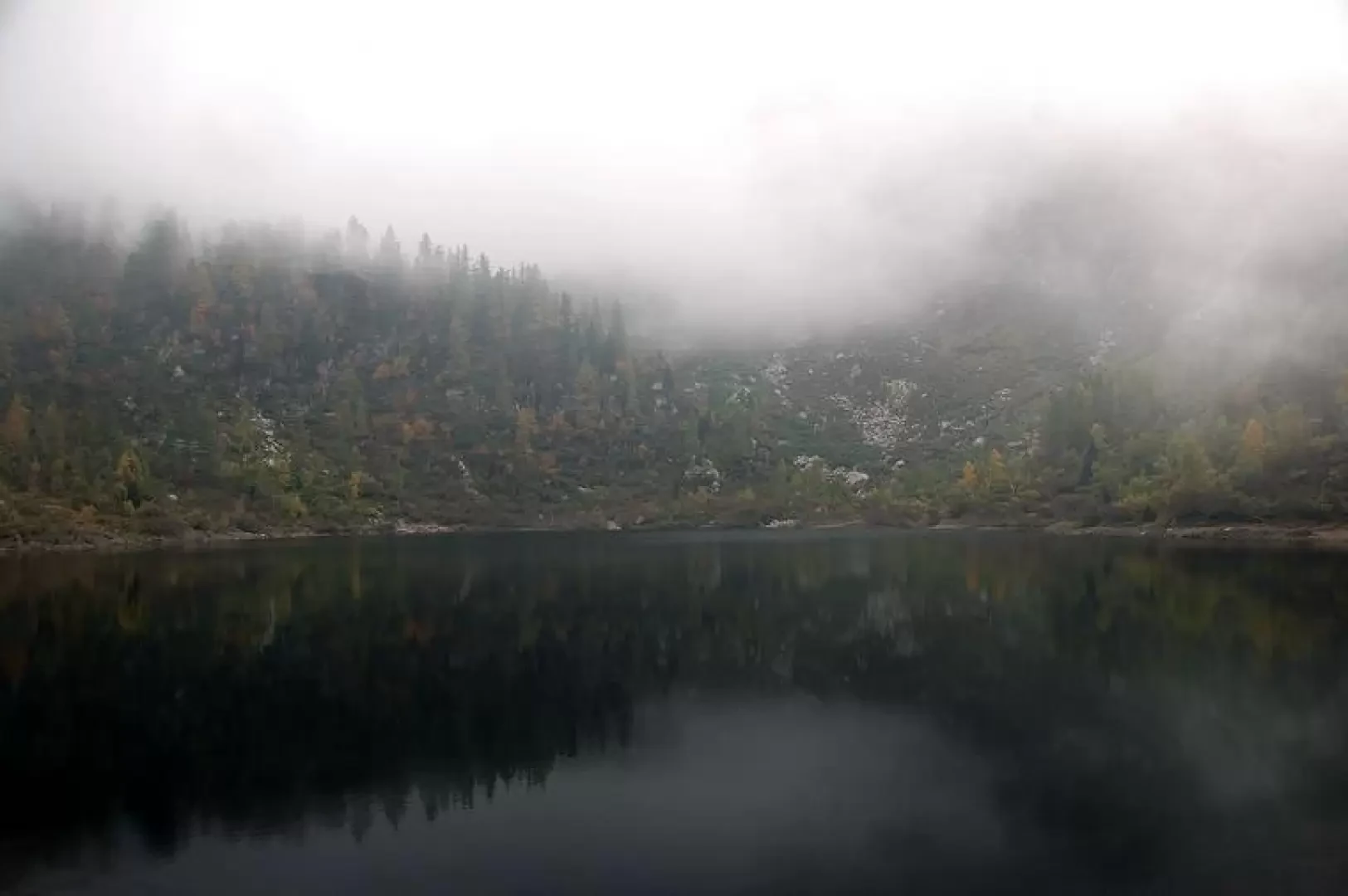
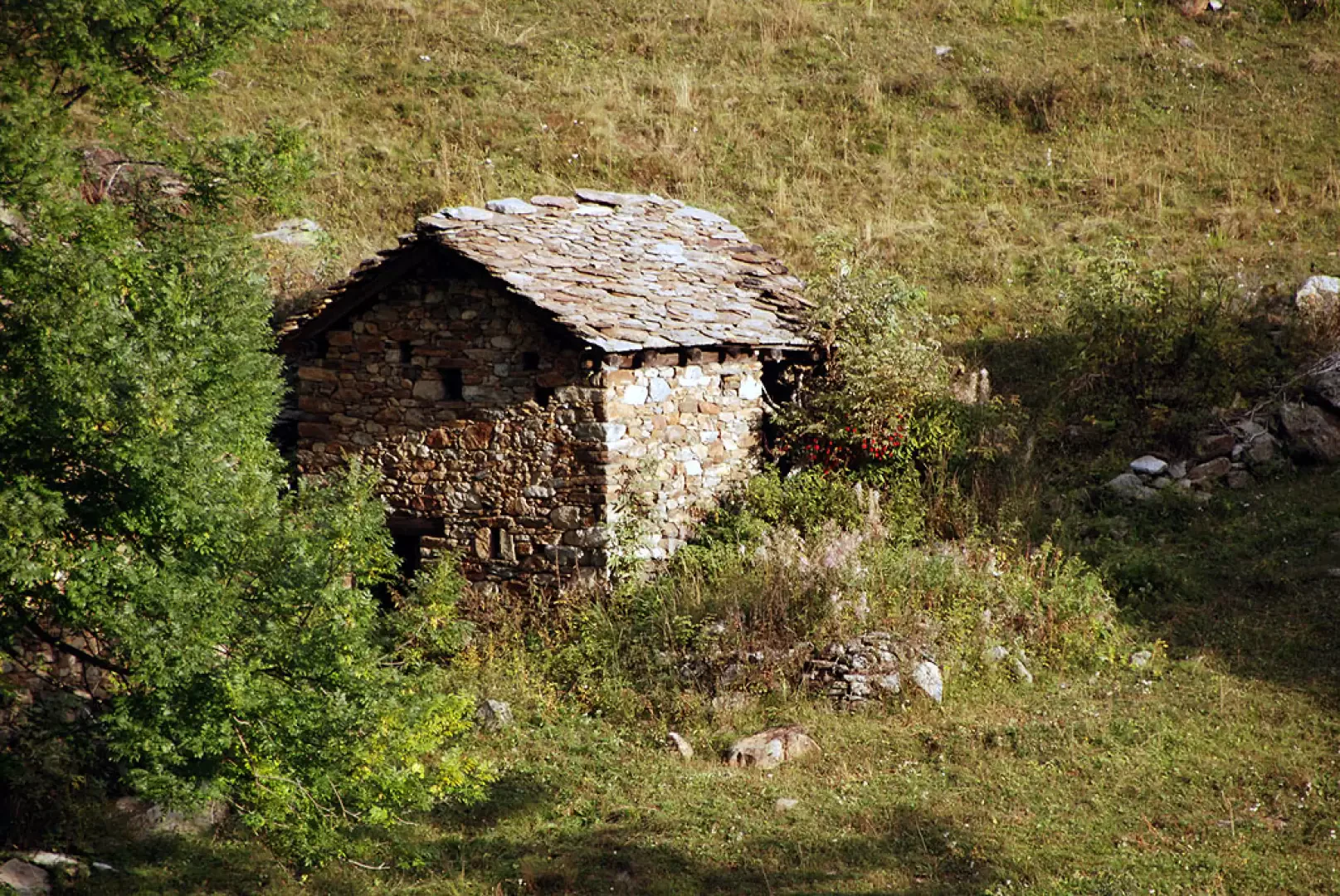
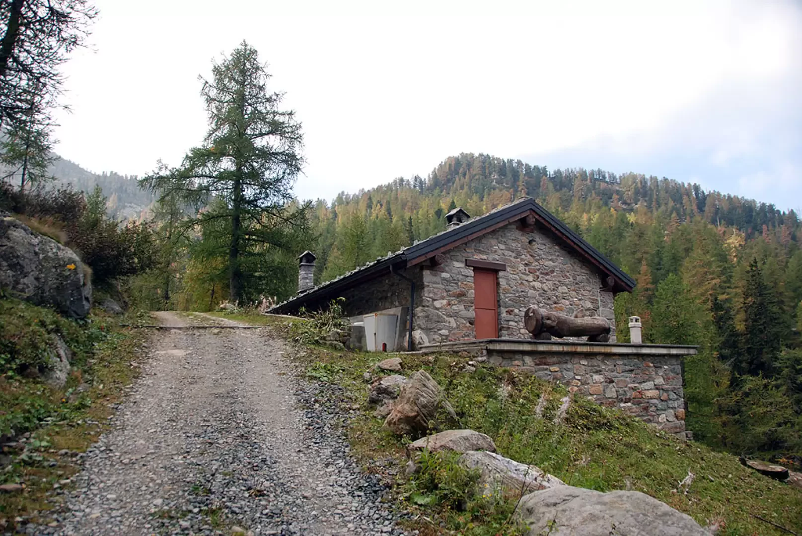
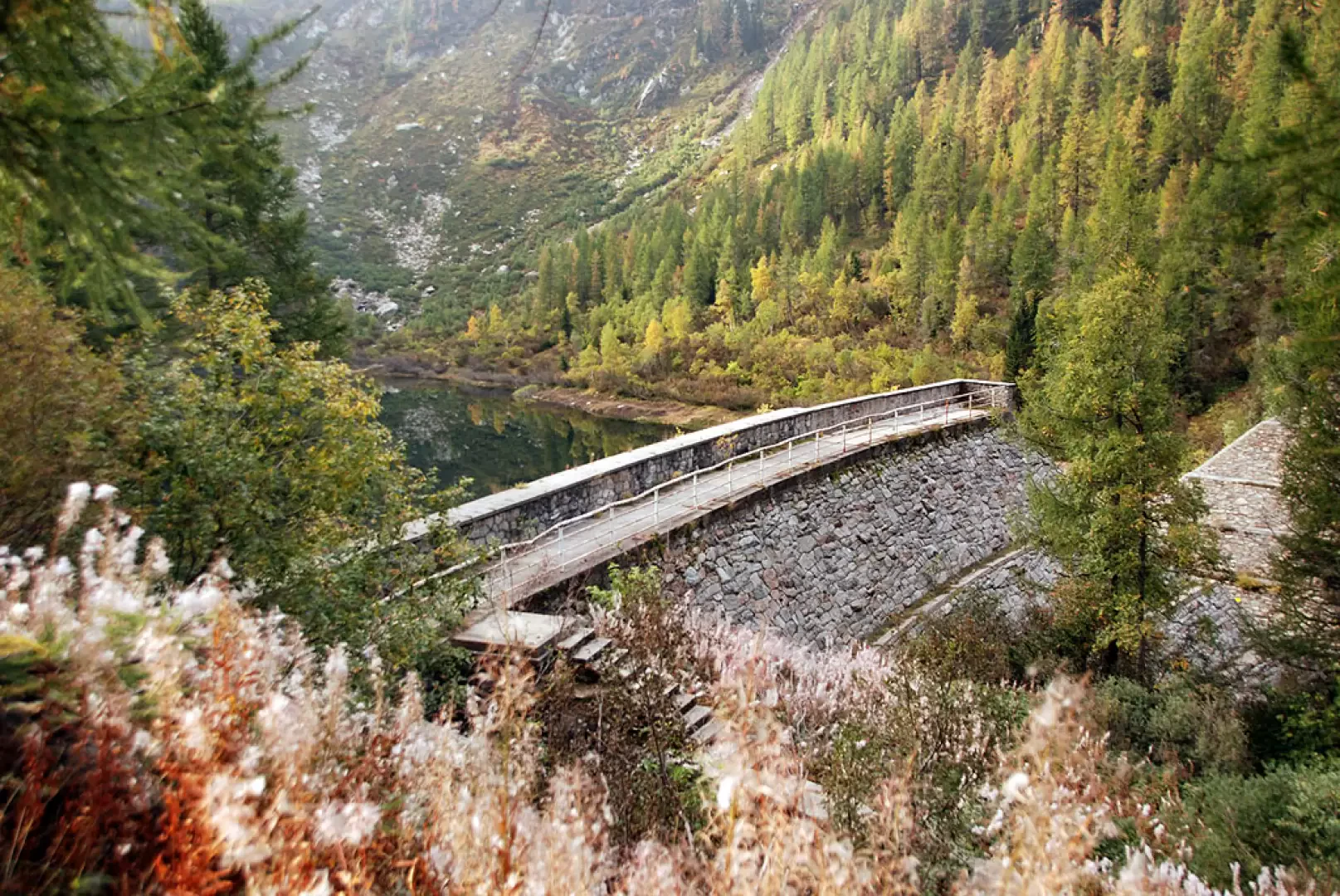
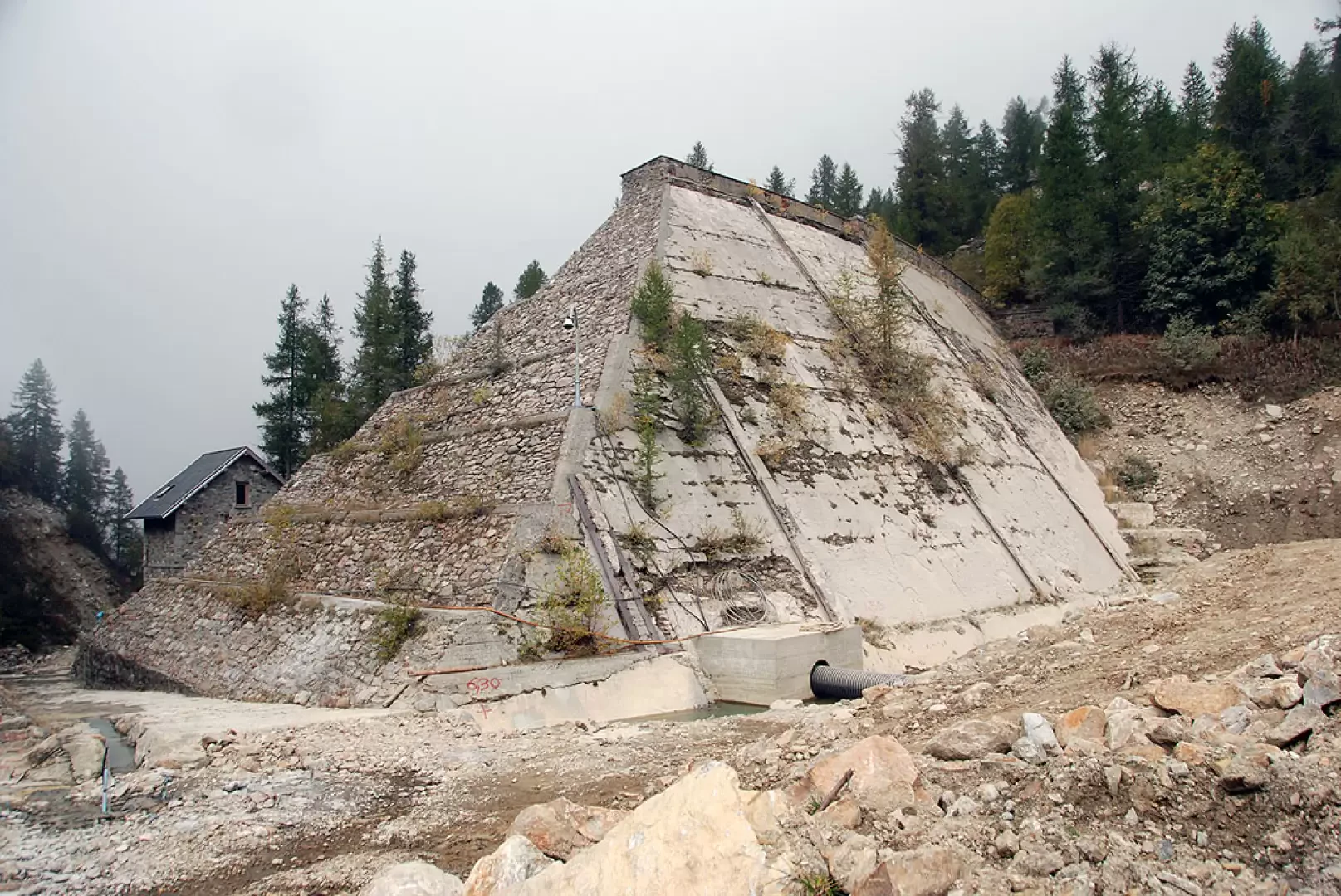
Ignore the footpath and continue along the narrow road until you reach the first of the farmhouses in Vargno; shortly afterwards, you’ll come to theAlta Via 1 and the path to Balma di Oropa (1,700 m, 1 h 25 min): carry straight on, following the signs for Rifugio Coda; just beyond this point, the track ends and you turn right. Follow the path and descend to the lake’s retaining embankment (1,664 m, 1h 30 min). The descent follows the same route as the ascent.
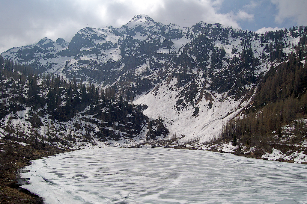
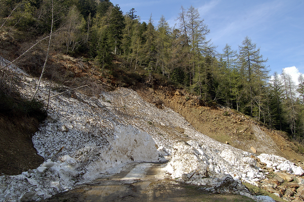
Partenza da Pillaz di Fontainemore. Ancora neve nei tornanti sopra l'edicola
votiva. Lago ancora completamente ghiacciato. Incontrato una dozzina di
persone.

Comments (0)
Sign in to leave a comment